Broxton Bird (Science)

Addressing SDG 13 Climage Change
Dr. Broxton Bird is an Earth Sciences Associate Professor in the IUPUI School of Science, and Director of the Center for Earth and Environmental Sciences (CEES). Dr. Bird is also a recipient of the 2021 IUPUI Research Frontiers Trailblazer Award and the 2023 IUPUI School of Science Research Award. Dr. Bird’s research and collaborations center on climate change and water resources, and their influence on natural and anthropogenic systems. Using lake sediment archives, Dr. Bird reconstructs climate change at the highest possible resolution in order to analyze patterns and processes causing hydrological variability. The big picture is to understand the effects climate has had on human life, and the effects humans have had on the climate.
Currently, Dr. Bird’s projects are concentrated in the three geographic regions: tropical South America, Tibet, and the US Midwest. The hydroclimatic systems in these regions are connected by the Pacific Ocean, which also influences climate across the globe. Understanding the hydroclimate variations and factors that drive variability in these regions is therefore critical for accurately modelling the response to climate conditions across our world.
Tropical South America
In a 2011 study entitled “A 2,300-year-long annually resolved record of the South American summer monsoon from the Peruvian Andes,” Dr. Bird and a team of researchers utilized annually resolved authigenic calcite records from Laguna Pumacocha (an alpine lake in the central Peruvian Andes) to study trends in the South American Summer Monsoon (SASM). The study revealed that the sensitivity of SASM over time is correlated to northern hemisphere temperatures, tropical sea surface temperatures, and latitudinal variability in the Intertropical Convergence Zone (ITCZ). The results suggest that continued warming in the northern hemisphere and north Atlantic might contribute to increased weakening of SASM which could negatively impact the availability of water in the Andes and along the dry Pacific coast.
Tibetan Plateau
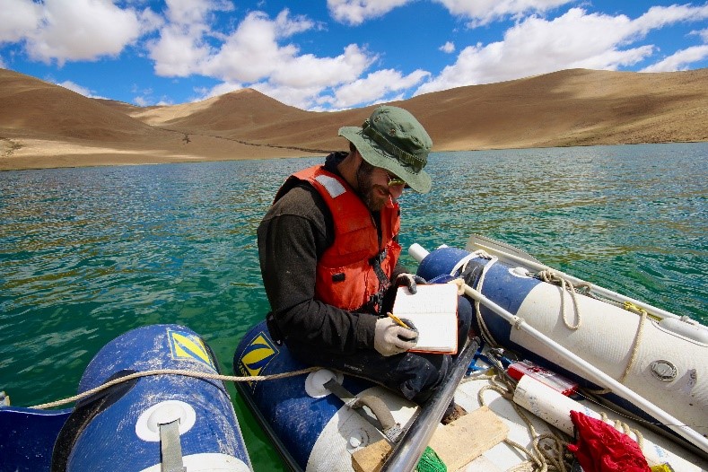
Like the South American Andes, the Tibetan plateau is a high-elevation geographic area which behaves as a natural water reservoir for a large proportion of Asia’s water needs. The water levels in this region are connected to the Indian Summer Monsoon (ISM) system, one of the world’s most prominent monsoon systems. In studies published in 2014 and 2016, Dr. Bird and fellow researchers discovered significant variability in the ISM by studying sediments and other material from Paru Co and Nir’pa Co (respectively), two alpine lakes in the southeastern Tibetan Plateau.
The 2014 Paru Co paper concludes that these changes show correlation with summer insolation levels, temperatures on the Tibetan Plateau, Indo-Pacific Surface Sea Temperatures (influenced by the El-Niño-Southern Oscillation phenomenon and the Indian Ocean Dipole), and the position of the ITCZ. In the 2016 Nir’pa Co study, a strong correlation between the El-Niño-Southern Oscillation and ISM variation in the last 3,300 years was established.
US Midwest
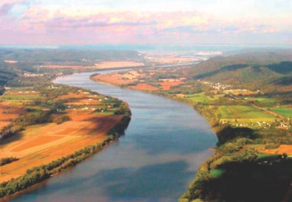
In the US Midwest, flood concerns run high because of an increase in flooding and extreme precipitation events since the 1960s. Reconstructions of floods and droughts are crucial to understanding climate patterns and factors that drive climatic variability. Dr. Bird studied sediment archives from Martin Lake, Indiana and Avery Lake, Ohio, and unearthed a surprising discovery. Before the study, the team hypothesized that flooding in the Ohio River would be reflected by flooding in the river’s tributaries such as the White River in Indiana. However, sedimentary analysis revealed that flooding coincided with the drying up of its tributaries. This discovery led to a new understanding of how river size impacts the response of the river to precipitation: smaller rivers’ water levels are influenced by rainfall while large rivers’ water levels are influenced by snowpack.
Another study revealed correlations between deforestation and flooding impacts. Before the 1800s, the Midwest showed periods of frequent flooding, followed by low flooding, then a return to frequent flooding, with the cycle repeating itself. However, samples show that starting in the 1800s, in rivers all over America, flooding trends synchronized and most rivers were flooding consistently, without reverting to the cycle of high and low flooding levels. This trend was aligned with the deforestation of the eastern deciduous forest and the clearing of landscapes by settlers. With this study, Dr. Bird and his team were able to establish a correlation between land clearing and flooding levels.